About Our Region
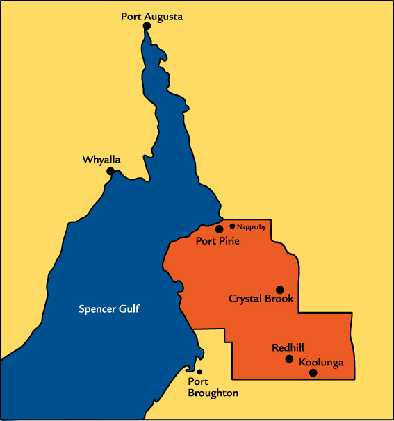
Port Pirie Regional Council is situated on the upper reaches of the Spencer Gulf in the Southern Flinders Ranges of South Australia. The Council area includes the city of Port Pirie, a historically significant city and busy commercial regional centre, as well as the rural towns of Crystal Brook, Redhill, Koolunga, Wandearah, Mundoora, Napperby and Warnertown. It is a diverse region encompassing agricultural and industrial activities, with a history as a major manufacturing and export centre, where industry, century old buildings and attractive parks and gardens sit side by side.
| Total Population | 17,333 |
| Total Area | 1,761 sq kms |
| Number of Ratable Properties | 10,188 |
| Total Road Network | 1,309kms |
| Sealed Roads | 315kms |
| Unsealed Roads | 994kms |
| Number of Electors | 12,258 |
| Total number of Staff/Employees FTE | 86.75 FTE |
| Total number of Elected Members |
11 (including Mayor) |
|
|
For more detail see our Our Council area is shown in white.
You will need Adobe reader to view many documents on this website including these maps. Dont have it?
|


